
Another simple idea is to look at a large scale detailed map and work out an ancestor’s likely route to school or church or work. Best on a map of their era or if using a modern map, be aware of possible changes. Ideally actually walk the route or do so online on something like Google street map. Ask yourself questions about what the experience of walking in their shoes might have been:
Do they pass a market or perhaps a blacksmith’s forge – imagine the noises and smells. like that of the Finch Foundry in Sticklepath, dominating the main street.
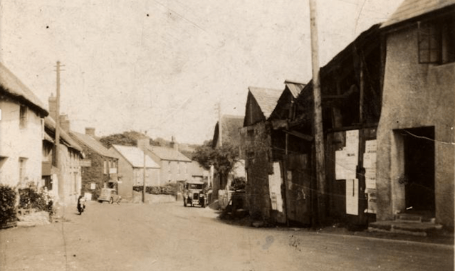
What sights were there, views or landmarks, features or milestones? How would that vary in the seasons or over time? How would it look different to today? Types of architecture, specific features of the buildings? Looking at ‘listed’ buildings online can be helpful
What help might your ancestors have needed eg where was the nearest workhouse? Any charitable institutions nearby? Fire service? Police? Do you know where the Police House was in Sticklepath? Initially near the Bridge, later Pixie Nook, on the way out of the village towards Okehampton.
Where is the graveyard? Non-conformists may not have used the Churchyard. Some places like Sticklepath have an ecumenical burying ground.
Trade directories can add more information and help looking for businesses your ancestors might have used or worked at.
Don’t forget to make a note of your findings! I have made a start on a detailed ‘Walk through Sticklepath’ essentially following the main street through the village and noting anything of historical interest along the way.
(Snowy Footprints Image by jenlargo88 from Pixabay)
